Onyx Space
Empowering Humanity from Space

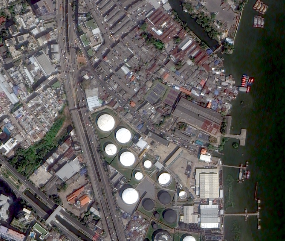


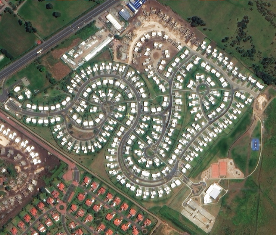
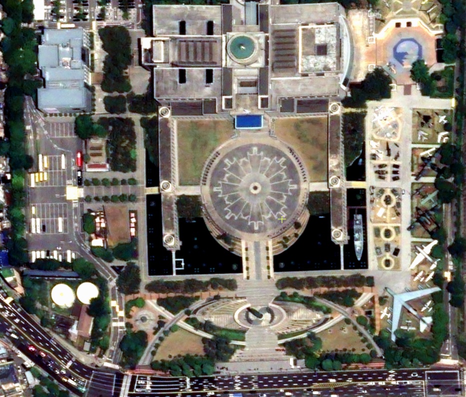
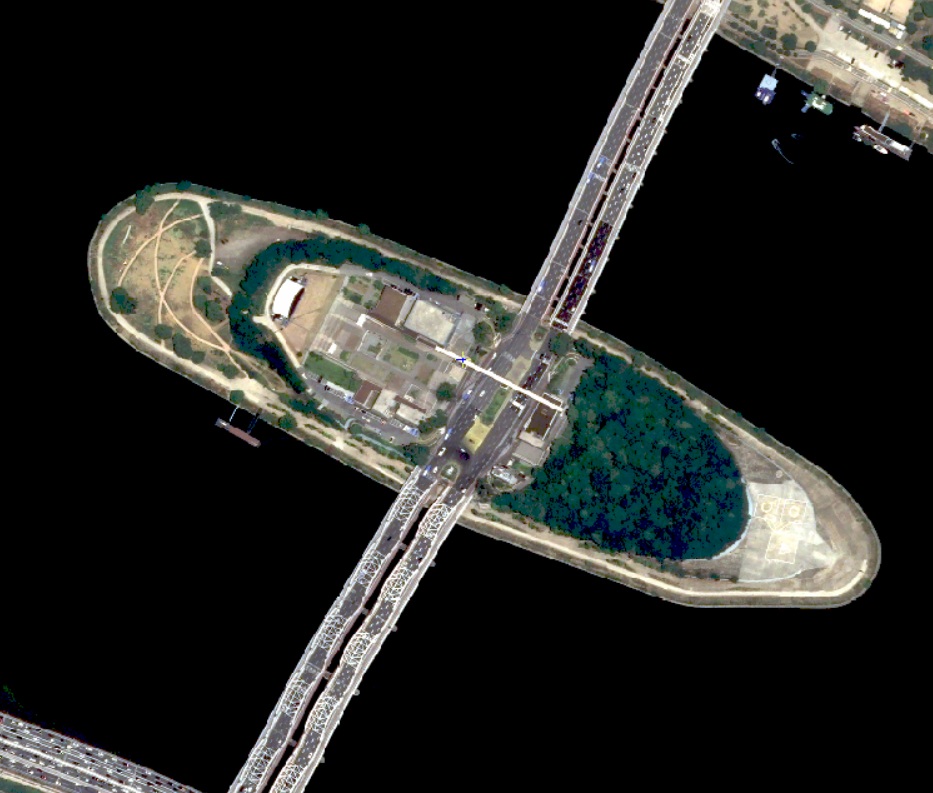
EO (Earth Observation)
OnyX Space delivers all-in-one comprehensive geospatial solutions with seamless integration from multiple Earth observation (EO) satellite constellations. We provide you with unparalleled access to satellite imagery from over 95+ satellites, offering resolutions ranging from 15cm to 20m—ensuring you get the data you need with unmatched precision.
With our advanced technology and global satellite coverage, we offer 15-minute revisit intervals using submeter resolution optical satellites, giving you the most up-to-date insights. Our services also include:
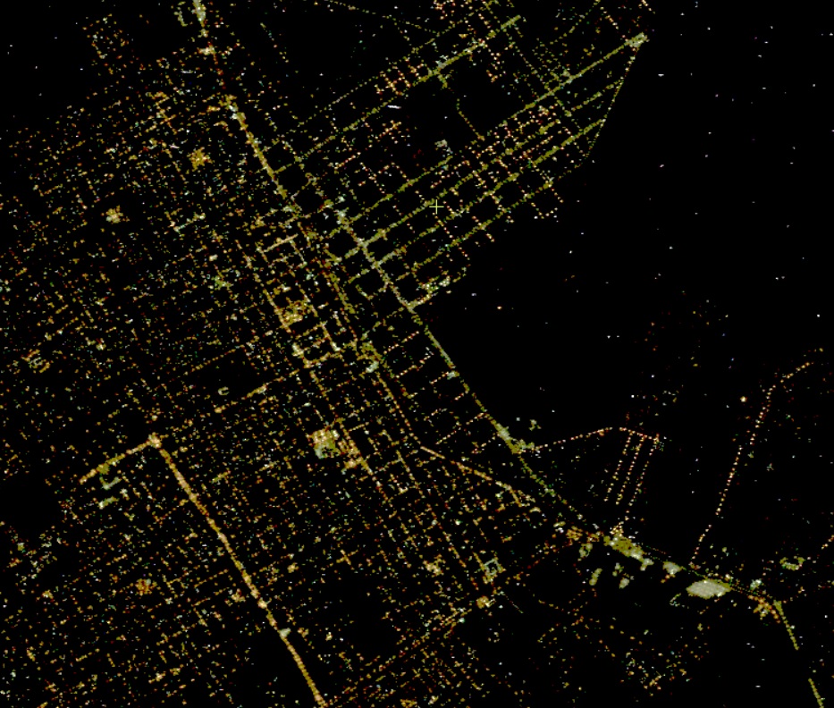
- True-Color Night Imaging: Capture high-quality, full-color imagery even in low-light conditions.
- Hyperspectral Imagery: Obtain detailed spectral information across a wide range of wavelengths for precise analysis and monitoring.
- C-Band SAR Data: Access Synthetic Aperture Radar (SAR) for all-weather, day or night imaging, including through clouds and atmospheric disturbances.
Whether you need high-resolution imagery for environmental monitoring, urban planning, or any complex geospatial project, OnyX Space provides fully-integrated, turnkey solutions designed to meet your specific requirements.
Explore the future of geospatial intelligence with OnyX Space—precision, innovation, and real-time access to the data that matters most.
Tailored Technical Solutions for Your Needs
Our expert technical team offers a range of value-added products and services customized to meet your specific requirements, including:
- Orthorectification: Ensure accuracy in your imagery for precise measurements and analysis.
- Digital Terrain Models (DTM) and Digital Surface Models (DSM): High-resolution models to support various applications, from planning to environmental assessments.
- Building Heights Analysis: Obtain accurate building height measurements using both stereo and mono imagery.
- Feature Extraction: Comprehensive identification of key features, including building footprints, locations, street lines, water bodies, and coastlines.
Share your project requirements with us, and we’ll deliver the most effective and competitive solutions tailored to your needs!
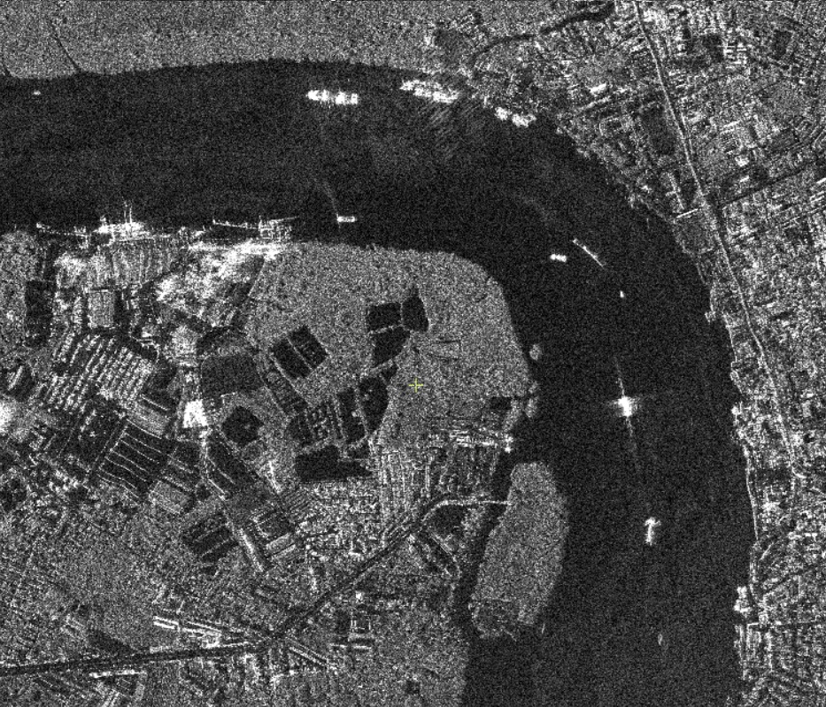
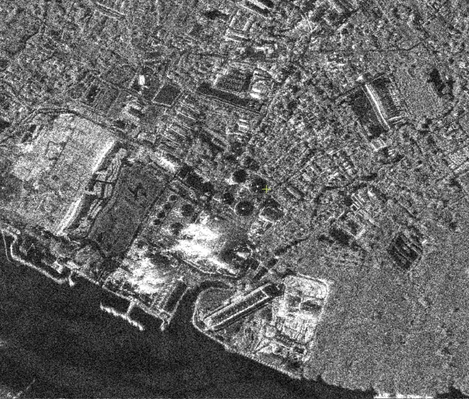
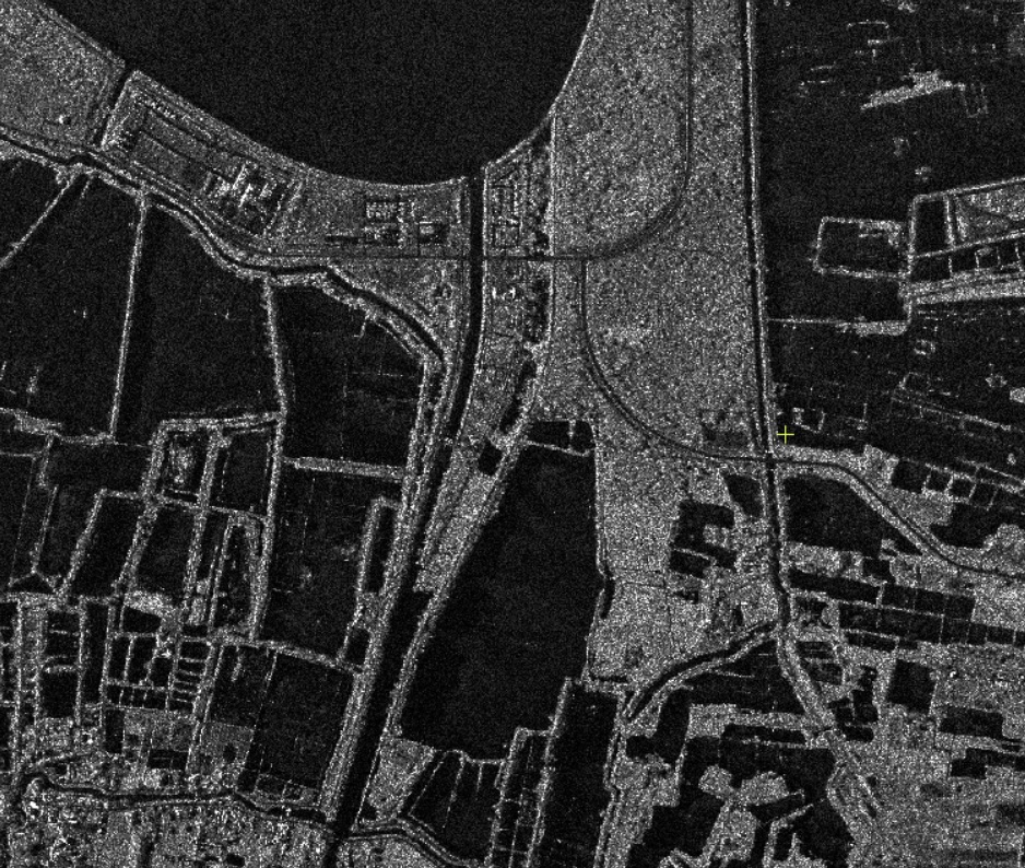
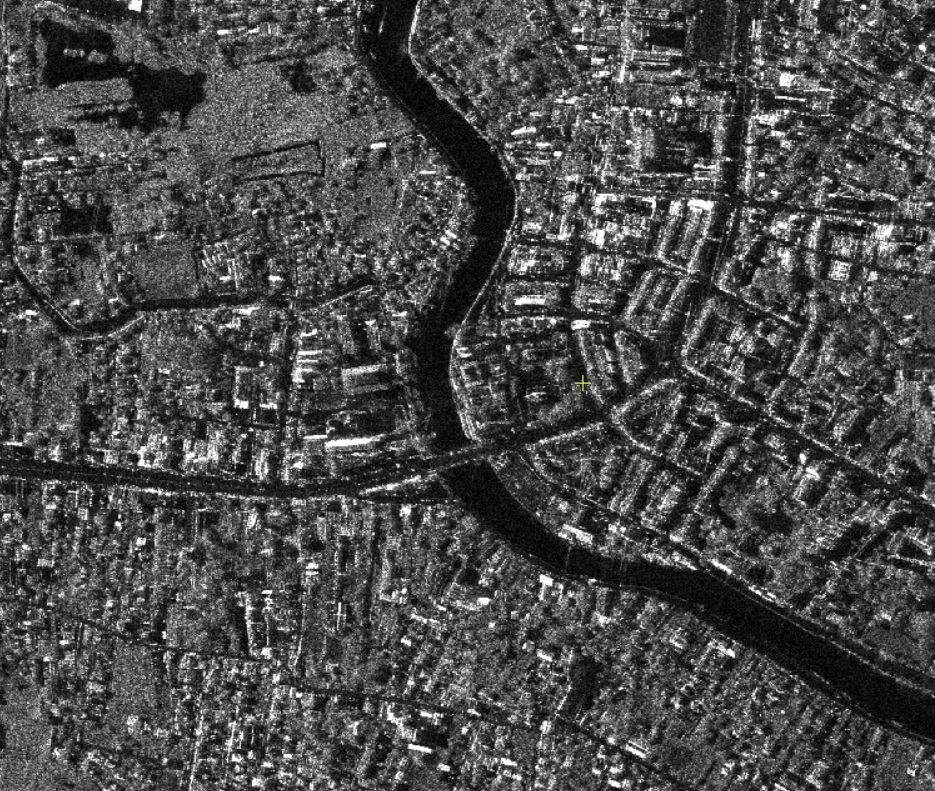
SAR (Synthetic Aperture Radar)
See the Earth—day, night, and through clouds
Synthetic Aperture Radar (SAR) is an active imaging technology that transmits microwave pulses and measures the energy reflected back from the surface. Unlike optical sensors, SAR works at night and through cloud, haze, smoke, and light rain, delivering reliable imagery and precise measurements when and where you need them.
Why SAR with Onyx Space
- All-weather reliability: Consistent collections in tropical, monsoon, and winter conditions.
- High detail & precision: From 0.5m–20 m (C-band).
- Measurements, not just pictures: Quantitative backscatter, coherence, and millimeter-scale deformation (InSAR).
- Fast delivery: Archive pulls within hours; new tasking in 24–72 hours (sensor-dependent).

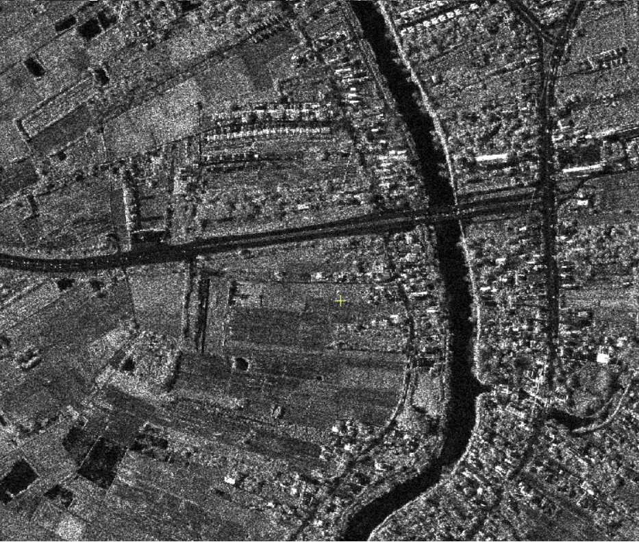
Use case: Oil Spill
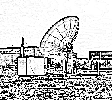
Satellite Systems
Unlock Your Full Potential with Custom Satellite Solutions
Whether you need a Ground Receiving Station to access data from multiple satellite operators or you’re planning to launch your own satellite for complete sovereignty and independence, you’ve come to the right place. At OnyX Space, we specialize in providing customized, end-to-end solutions that ensure fast and secure access to the data you need.
Share your requirements with us (EO, SAR or Communication), and our expert team will design a tailor-made solution that not only meets your needs but exceeds your expectations—all at highly competitive prices. From ground infrastructure to satellite launch services, we are here to empower you with the tools for success.
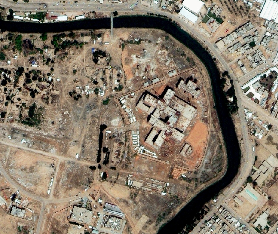
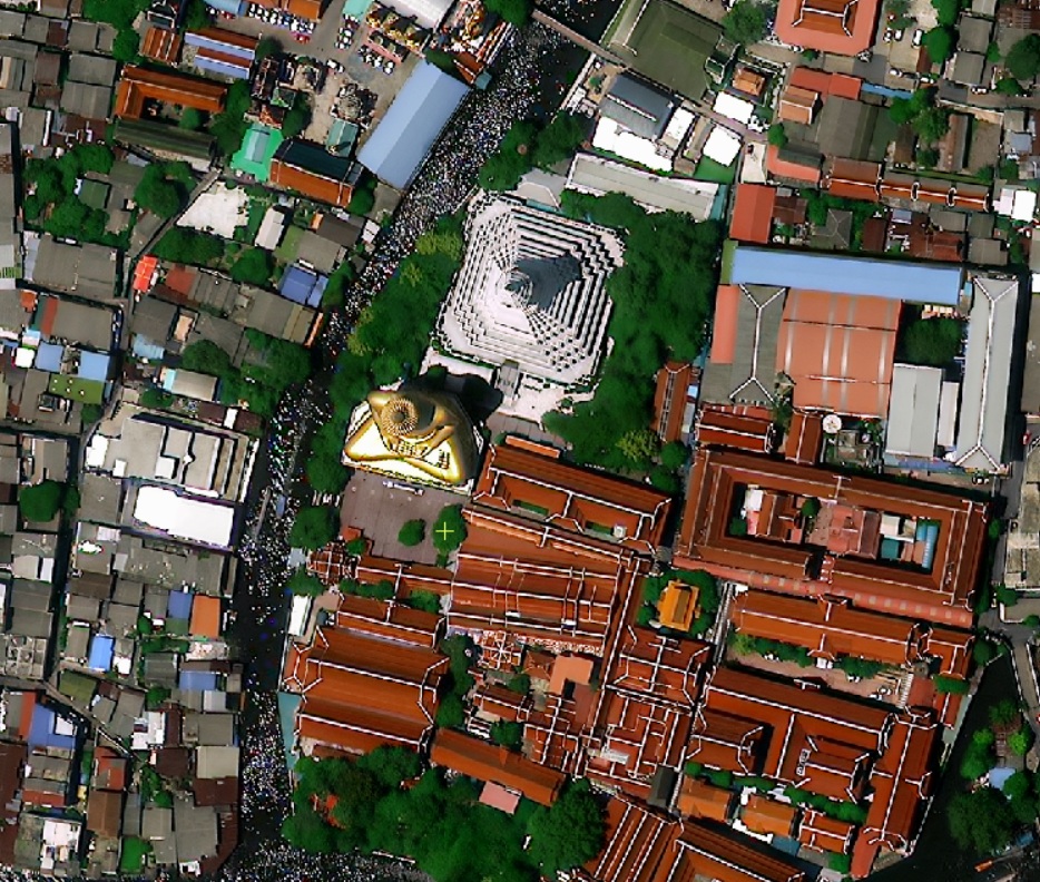
Geospatial Solutions
At Onyx Space, we offer a wide array of geospatial solutions designed to meet the unique requirements of each client. Our core services include:
Topographic
Mapping
Customized mapping at various scales to suit your project needs.
INSAR
analysis
INSAR analysis for detecting ground movements
Landuse/Landcover Mapping
Detailed assessments to inform planning and management decisions.
Change
Detection
Monitor and analyze changes over time for informed decision-making.
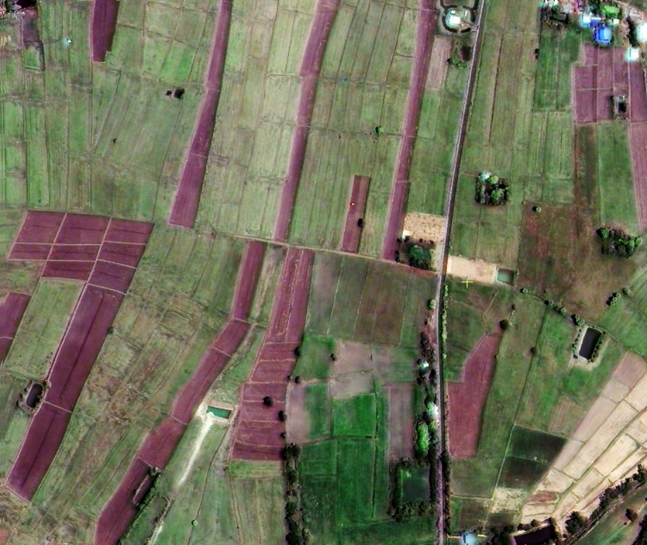
Agricultural
Mapping
Precision mapping to enhance
agricultural productivity and
resource management.
Solar Panel
Mapping
Accurate mapping of solar panels to
measure and optimize solar energy
installations.
Light Mapping using
night vision data
Utilizing night vision data for unique
insights into illumination patterns.
Digital
Addressing
Streamlined addressing solutions to
enhance navigation and location
services for remote areas.
Explore how our tailored geospatial solutions can elevate your project and drive successful outcomes!
Onyx Aerial
Introducing our dedicated UAV Surveying Division, specializing in advanced surveying solutions using state-of-the-art commercial drones. Our skilled team is equipped to operate in diverse locations, ensuring efficient data collection once local permissions are secured.
What We Offer:
• High-Quality Deliverables: We produce true orthophotos, digital terrain models (DTM), digital surface models (DSM), and detailed contour lines.
• Feature Extraction: Our technology allows us to extract up to 65 different features, creating comprehensive maps tailored to various scales.
• Data Processing Services: If you already have collected data, we can handle the processing to generate all of the above outputs.
Global Reach: Our UAV surveying services are available worldwide, contingent upon obtaining the necessary local permissions.
Ready to elevate your surveying project? Fill out this form, and our experts will respond promptly with a competitive proposal tailored to your needs.
Let Onyx Aerial take your project to new heights!


Partners
Empowering Humanity Through Global Collaboration
At OnyX Space, empowering humanity from space is made possible through a vast network of global partnerships that we’ve cultivated over the years. These relationships are built on a foundation of trust, collaboration, and shared commitment to advancing innovation and addressing the world’s most pressing challenges.
We deeply value and appreciate our partners, whose expertise and contributions enhance our capabilities and drive our mission forward. Together, we are creating transformative solutions that harness the power of space to improve lives, protect our planet, and shape a more connected, sustainable future.

We're Here to Help!
If you have any questions or need further information, don’t hesitate to reach out. Our team is ready to assist you with any inquiries and provide the support you need.